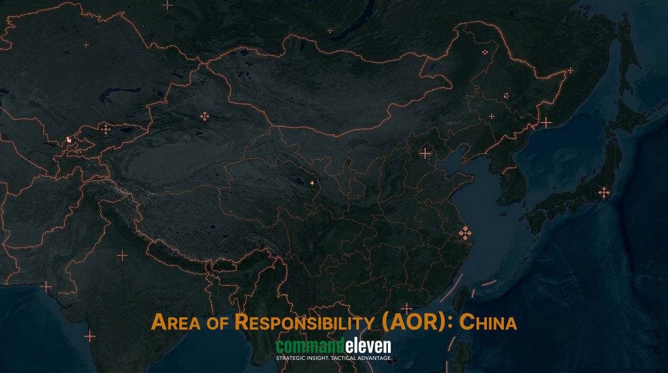
Executive Summary
The strategic competition within the South China Sea littoral zone is increasingly governed by a high-technology battle for Maritime Domain Awareness (MDA). State actors have progressed beyond traditional surface patrol presence toward integrated, multi-layered Intelligence, Surveillance, and Reconnaissance (ISR) frameworks. The People’s Republic of China (PRC) has successfully operationalized its militarized outposts in the Spratly and Paracel islands into permanent forward-deployed surveillance nodes. These nodes feature over-the-horizon (OTH) radars, large-scale signals intelligence (SIGINT) facilities, and advanced electro-optical sensor clusters. In response to this expanding operational footprint, and accelerated by global maritime disruptions, allied powers,led by the Quad framework,unveiled the “Indo-Pacific Maritime Surveillance Cooperation Initiative” in New Delhi in May 2026. This initiative establishes a real-time information-sharing network combining commercial satellite data, High-Altitude Long-Endurance (HALE) Unmanned Aerial Vehicles (UAVs), and advanced maritime patrol aircraft to contest Beijing’s sensor hegemony.
Terrestrial and Island-Based Sensor Infrastructure
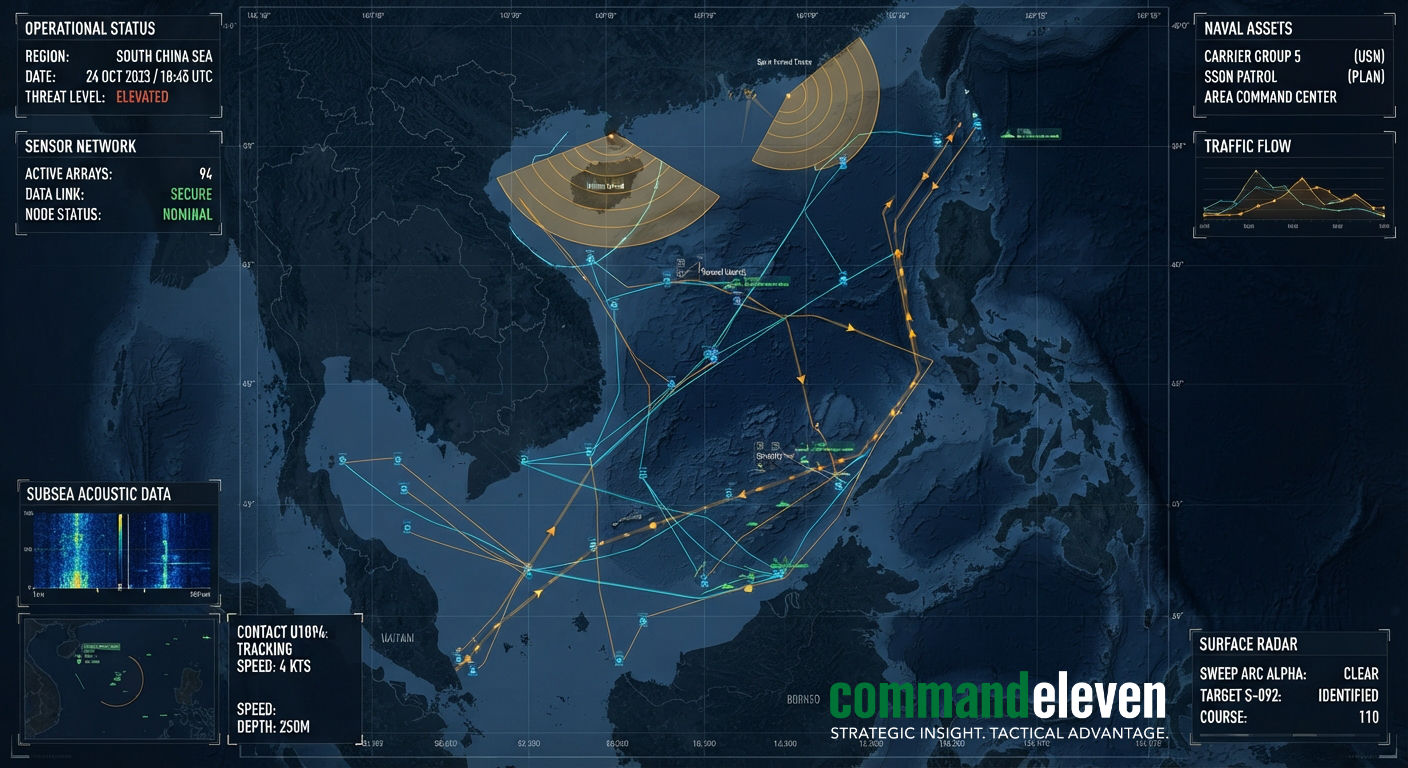
Beijing’s structural control over the South China Sea relies on its “island fortress” strategy across the features of Mischief Reef, Subi Reef, Fiery Cross Reef, and Woody Island. These locations are no longer merely defensive outposts; they function as the core of an active maritime sensor network. Fiery Cross Reef and Subi Reef host extensive high-frequency OTH radar installations capable of detecting surface vessels and low-flying aircraft beyond the limits of conventional horizon line perception. These systems are paired with large-aperture radomes housing electronic intelligence (ELINT) and SIGINT collection arrays that actively monitor regional military communications and electromagnetic emissions.
These features also incorporate underwater acoustic sensor networks,often referred to as the “Underwater Great Wall”,deployed along the seabed of the deep-water channels. These passive sonar arrays track submarine movements through the critical transit corridors of the Bashi Channel and Malacca Strait, streaming telemetry back to command centers on Hainan Island. The integration of terrestrial radar, ELINT arrays, and benthic hydrophones grants the People’s Liberation Navy (PLAN) an unparalleled operational picture within the First Island Chain, reducing the efficacy of traditional stealth maneuvers by regional adversaries.
Airborne and Space-Based ISR Integration
The terrestrial sensor network is integrated with an airborne and orbital observation layer. The PRC has deployed HALE UAVs, specifically the WZ-7 Xianglong and WZ-8 supersonic reconnaissance platforms, operating from forward airfields in the Paracels. These unmanned systems provide continuous flight persistence over contested sectors like the Second Thomas Shoal and Scarborough Shoal, executing real-time target acquisition for land-based anti-ship cruise missile units. This airborne network is complemented by the rapid expansion of Chinese low-Earth orbit (LEO) synthetic aperture radar (SAR) and electro-optical satellite constellations. SAR satellites allow for persistent visibility through the heavy cloud cover and tropical storm systems characteristic of the South China Sea, ensuring that surface movements are tracked regardless of meteorological conditions.
Crucially, the export of these maritime technologies forms a parallel vector of strategic influence. Over 30 regional and global littoral partners, particularly across Africa and sections of Southeast Asia, have integrated China’s BeiDou satellite navigation system into their primary commercial and security maritime networks, replacing or augmenting Western GPS. This expansion provides Beijing with indirect visibility into global maritime traffic flows and allows for the standardization of data formats that favor Chinese maritime port automation software and logistics platforms.
Counter-Surveillance Alliances: The Quad Response
To counter this asymmetry, the Quad nations (United States, Japan, India, and Australia) executed a significant policy expansion via the Indo-Pacific Maritime Surveillance Cooperation Initiative in May 2026. Recognizing that individual nations bordering the South China Sea lack the capital to field comprehensive counter-networks, the Quad has expanded its Maritime Domain Awareness Initiative to seamlessly merge commercial satellite observation data with military tracking systems. This architecture relies on a “hand-off” overwatch model: long-range unmanned aerial vehicles and P-8A Poseidon maritime patrol aircraft operate in coordinated rotations, handing over tracking data of PLAN flotillas or submarine contacts across national areas of responsibility without escalating to direct kinetic engagement.
This initiative also funds the deployment of smart-port infrastructure and independent logistics platforms within partner ASEAN states like the Philippines and Vietnam. By offering non-PRC options for maritime automation, the Quad seeks to degrade China’s capacity to harvest operational metadata from regional ports, establishing a resilient, secure data pipeline that supports freedom of navigation and maritime defense alignment.
Non-Kinetic Electronic Warfare and Data Spoofing
The South China Sea has become an active testbed for non-kinetic electronic warfare, specifically targeting Automatic Identification System (AIS) data streams and Global Positioning System (GPS) signals. PLAN vessels and maritime militia fleets frequently employ industrial-scale AIS spoofing, projecting false coordinates to mask the assembly of fleets near disputed shoals. Concurrently, island-based electronic warfare detachments execute localized GPS denials and spoofing operations, forcing commercial and military vessels to navigate via fallback inertial systems or China’s own BeiDou network, tracking their locations in the process. This dynamic turns maritime domain awareness into a highly fluid environment where telemetry must be constantly cross-verified via multiple independent sensors.
Comparative Surveillance Capabilities Matrix
The following table provides a technical comparison of the predominant surveillance architectures deployed in the South China Sea theater by Chinese forces and Allied/Quad networks as of mid-2026.
| Surveillance Layer | PRC Architecture & Platforms | Allied / Quad Architecture | Primary Tactical Vulnerabilities |
| Terrestrial / Littoral | Island-based OTH radar, ELINT radomes, benthic hydrophone arrays. | Partner nation coastal radar nodes, distributed mobile tracking assets. | PRC bases are static, high-value targets vulnerable to early kinetic striking. |
| Airborne Systems | WZ-7, WZ-8 UAVs, Y-9 series electronic warfare aircraft. | P-8A Poseidon, long-range HALE UAV assets (MQ-4C Triton). | Airborne assets face significant localized electronic jamming threats. |
| Orbital Layer | LEO SAR/EO constellations, BeiDou navigation network data harvesting. | Commercial satellite data integration, Western military reconnaissance. | Data transmission latency and multi-national secure pipeline friction. |
Operational Conclusions
The South China Sea is no longer an open maritime commons; it is an intensely monitored sensor field. Beijing’s integrated island, airborne, and space-based architectures provide a persistent operational overview designed to deter Western intervention and coerce regional littoral states. However, the operationalization of the Quad’s Indo-Pacific Maritime Surveillance Cooperation Initiative represents a significant shift toward multilateral counter-balancing. By leveraging commercial data elasticity alongside persistent, non-escalatory military overwatch hand-offs, the allied framework is successfully introducing friction into China’s maritime target acquisition loops. The security of the region will ultimately depend on the capacity of these competing data systems to maintain signal integrity amidst pervasive electronic warfare, spoofing, and intentional degradation of the regional information ecosystem.